


**Big Dog ULL/Southern Slider Jan 17th -18th 2013**
Page 15 of 25 •  1 ... 9 ... 14, 15, 16 ... 20 ... 25
 ![]()
Re: **Big Dog ULL/Southern Slider Jan 17th -18th 2013**
![]() by John1122 2013-01-16, 9:15 pm
by John1122 2013-01-16, 9:15 pm

John1122- Winter Specialist
- Posts : 885
Join date : 2011-12-06
Location : Campbell Co
Re: **Big Dog ULL/Southern Slider Jan 17th -18th 2013**
![]() by Toot 2013-01-16, 9:24 pm
by Toot 2013-01-16, 9:24 pm
The 0z NAM is awesome...definately a heavy hitter. The speed of the system is always something to consider but this is a pretty classic setup for east TN. After tonights runs..I will be watching HRRR/satellite/radar/mesoanalyisis from here on out.orangeblood1985 wrote:To my untrained eye, the OZ NAM looks more like the 12Z run from earlier today than the latest 18Z run. That is a good thing for the entire valley. What are your thoughts Toot? IMO, the biggest hinderance to snow accums will be the speed at which the deform band from the ULL tracks out of our area. I seem to remember these things moving out quicker than anticipated at times.
The NAM..the GFS and its ensembles are in perfect agreement now.
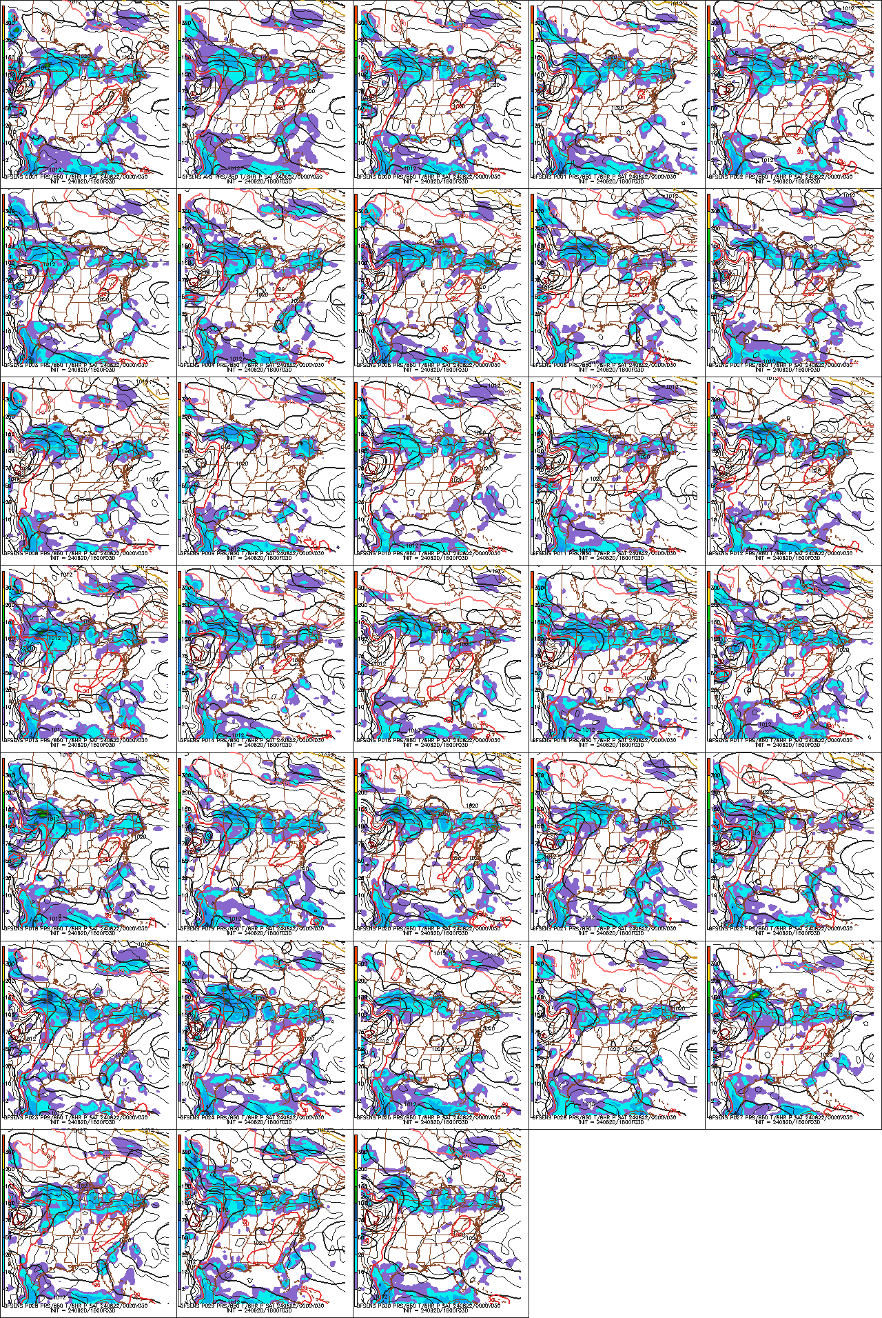
One last look at teh ensembles
It dont get a whole lot better than this unless the surface low starts to go bombogenesis but we dont have the blocking for that.
My forecast is here
http://www.tnweatherspot.com/t522-big-dog-call-maps-forecasts#20775
Last edited by Toot on 2013-01-16, 9:26 pm; edited 1 time in total

Toot- La Vida Loca
- Posts : 6644
Join date : 2011-12-05
Location : Cocke County, TN -

Re: **Big Dog ULL/Southern Slider Jan 17th -18th 2013**
![]() by snowdog 2013-01-16, 9:24 pm
by snowdog 2013-01-16, 9:24 pm
If that were to occur, MRX's thinking for Knoxville would be on the money. We'll see if the next few runs of the RAP/HRRR support the NAM's QPF and timing.
snowdog- Winter Specialist
- Posts : 855
Join date : 2011-12-14
Age : 46
Location : Mount Juliet, TN
Re: **Big Dog ULL/Southern Slider Jan 17th -18th 2013**
![]() by Toot 2013-01-16, 9:28 pm
by Toot 2013-01-16, 9:28 pm
Pman1618 wrote:Hello from Lebanon, TN about 20 miles east of nashville...now is there the slightest chance at all that this big dog snowstorm could trend more northeast than southern middle tennessee...i mean any chance at all?
The chances are slim to none..you can always drive a little ways eastward!

Last edited by Toot on 2013-01-16, 9:38 pm; edited 1 time in total
Toot- La Vida Loca
- Posts : 6644
Join date : 2011-12-05
Location : Cocke County, TN -
Re: **Big Dog ULL/Southern Slider Jan 17th -18th 2013**
![]() by Adam2014 2013-01-16, 9:35 pm
by Adam2014 2013-01-16, 9:35 pm
It will be nowcast on the exact track on the ULL. So 50 miles to the North or 50 miles to the South will make a difference.snowdog wrote:00z is a little stronger with the 500mb closed low but it is a little further south as well. 00z is a 2 contour closed upper level low. Going by soundings and precip available, verbatim it looks like close to .5" of QPF falls in Knoxville as snow.
If that were to occur, MRX's thinking for Knoxville would be on the money. We'll see if the next few runs of the RAP/HRRR support the NAM's QPF and timing.

Adam2014- Founding Member
- Posts : 1424
Join date : 2011-12-05
Age : 28
Location : Lawrenceburg,TN
Re: **Big Dog ULL/Southern Slider Jan 17th -18th 2013**
![]() by orangeblood1985 2013-01-16, 9:35 pm
by orangeblood1985 2013-01-16, 9:35 pm
orangeblood1985- Member
- Posts : 19
Join date : 2013-01-16
Location : Greeneville,TN
Re: **Big Dog ULL/Southern Slider Jan 17th -18th 2013**
![]() by AndyP 2013-01-16, 9:38 pm
by AndyP 2013-01-16, 9:38 pm

AndyP- Banned
- Posts : 194
Join date : 2011-12-06
Age : 44
Location : Erwin TN
Re: **Big Dog ULL/Southern Slider Jan 17th -18th 2013**
![]() by Toot 2013-01-16, 9:45 pm
by Toot 2013-01-16, 9:45 pm
No..its real!AndyP wrote:Just came in..... Am I dreaming ????

Its been south of the guidance consensus for a while now. Its by itself basicallyorangeblood1985 wrote: Any knowledge of this RPM model?
Last edited by Toot on 2013-01-16, 9:48 pm; edited 3 times in total
Toot- La Vida Loca
- Posts : 6644
Join date : 2011-12-05
Location : Cocke County, TN -
AndyP- Banned
- Posts : 194
Join date : 2011-12-06
Age : 44
Location : Erwin TN
Re: **Big Dog ULL/Southern Slider Jan 17th -18th 2013**
![]() by snowman72 2013-01-16, 9:58 pm
by snowman72 2013-01-16, 9:58 pm
I have to admit it at first I was a little skeptical about the snow comming. We do live in the valley and most the time we get shafted. But now after following all the models I'm a believer. Lets get this snow party started. I've got the bread and milk. Along with some shine.
snowman72- Banned
- Posts : 98
Join date : 2011-12-09
Age : 52
Location : foothills of the Smokies (Walland)
Re: **Big Dog ULL/Southern Slider Jan 17th -18th 2013**
![]() by AndyP 2013-01-16, 10:00 pm
by AndyP 2013-01-16, 10:00 pm
MODEL RUNS. DEPICTED SNOWFALL NOT AS ROBUST AS PREVIOUS RUNS BUT
CLOSE TO CURRENT FORECAST. VALLEY ACCUMULATIONS REMAIN QUESTIONABLE
BUT BRIEF HEAVY SNOWFALL SHOULD BE EXPECTED. ADVISORY CONDITIONS
SHOULD ALSO BE EXPECTED ACROSS THE SOUTHERN CUMBERLAND PLATEAU AND
THE SE TN VALLEY.
AndyP- Banned
- Posts : 194
Join date : 2011-12-06
Age : 44
Location : Erwin TN
Re: **Big Dog ULL/Southern Slider Jan 17th -18th 2013**
![]() by Toot 2013-01-16, 10:03 pm
by Toot 2013-01-16, 10:03 pm


Toot- La Vida Loca
- Posts : 6644
Join date : 2011-12-05
Location : Cocke County, TN -
Re: **Big Dog ULL/Southern Slider Jan 17th -18th 2013**
![]() by Jed33 2013-01-16, 10:07 pm
by Jed33 2013-01-16, 10:07 pm
 Toot, what's the last time the central valley got 6+ inches out of one storm?
Jed33- Admin
- Posts : 930
Join date : 2011-12-09
Location : Morristown, TN
Re: **Big Dog ULL/Southern Slider Jan 17th -18th 2013**
![]() by Toot 2013-01-16, 10:09 pm
by Toot 2013-01-16, 10:09 pm
snowman72 wrote: Lets get this snow party started. I've got the bread and milk. Along with some shine.
Snowman..I just popped the top on a fresh Jar myself!
Salute!

LOL
Toot- La Vida Loca
- Posts : 6644
Join date : 2011-12-05
Location : Cocke County, TN -
Re: **Big Dog ULL/Southern Slider Jan 17th -18th 2013**
![]() by Toot 2013-01-16, 10:11 pm
by Toot 2013-01-16, 10:11 pm
Christmas 2010Jed33 wrote:WOWZERZ!! Toot, what's the last time the central valley got 6+ inches out of one storm?
Toot- La Vida Loca
- Posts : 6644
Join date : 2011-12-05
Location : Cocke County, TN -
Re: **Big Dog ULL/Southern Slider Jan 17th -18th 2013**
![]() by Jed33 2013-01-16, 10:11 pm
by Jed33 2013-01-16, 10:11 pm

Jed33- Admin
- Posts : 930
Join date : 2011-12-09
Location : Morristown, TN
Re: **Big Dog ULL/Southern Slider Jan 17th -18th 2013**
![]() by snowdog 2013-01-16, 10:11 pm
by snowdog 2013-01-16, 10:11 pm
AndyP wrote:VALLEY ACCUMULATIONS REMAIN QUESTIONABLE
BUT BRIEF HEAVY SNOWFALL SHOULD BE EXPECTED.
What?!?!? Questionable? Weak Sauce!!
snowdog- Winter Specialist
- Posts : 855
Join date : 2011-12-14
Age : 46
Location : Mount Juliet, TN
Re: **Big Dog ULL/Southern Slider Jan 17th -18th 2013**
![]() by Adam2014 2013-01-16, 10:15 pm
by Adam2014 2013-01-16, 10:15 pm
Adam2014- Founding Member
- Posts : 1424
Join date : 2011-12-05
Age : 28
Location : Lawrenceburg,TN
Re: **Big Dog ULL/Southern Slider Jan 17th -18th 2013**
![]() by Jed33 2013-01-16, 10:16 pm
by Jed33 2013-01-16, 10:16 pm
Jed33- Admin
- Posts : 930
Join date : 2011-12-09
Location : Morristown, TN
Re: **Big Dog ULL/Southern Slider Jan 17th -18th 2013**
![]() by Toot 2013-01-16, 10:16 pm
by Toot 2013-01-16, 10:16 pm
snowdog wrote:
What?!?!? Questionable? Weak Sauce!!
Its your TROugh of Warm air ALoft argument that is weak sauce. Valley accumulations are always questionable..but thats not stopping them from forecasting 3-5 inches now is it?
Toot- La Vida Loca
- Posts : 6644
Join date : 2011-12-05
Location : Cocke County, TN -
Re: **Big Dog ULL/Southern Slider Jan 17th -18th 2013**
![]() by orangeblood1985 2013-01-16, 10:24 pm
by orangeblood1985 2013-01-16, 10:24 pm
Toot wrote:snowdog wrote:
What?!?!? Questionable? Weak Sauce!!
Its your TROugh of Warm air ALoft argument that is weak sauce. Valley accumulations are always questionable..but thats not stopping them from forecasting 3-5 inches now is it?
Priceless.... Snowdog seems set on hoping this turns out as a fail for the east / northeast part of the state.
orangeblood1985- Member
- Posts : 19
Join date : 2013-01-16
Location : Greeneville,TN
Re: **Big Dog ULL/Southern Slider Jan 17th -18th 2013**
![]() by orangeblood1985 2013-01-16, 10:26 pm
by orangeblood1985 2013-01-16, 10:26 pm
orangeblood1985- Member
- Posts : 19
Join date : 2013-01-16
Location : Greeneville,TN
Re: **Big Dog ULL/Southern Slider Jan 17th -18th 2013**
![]() by John1122 2013-01-16, 10:40 pm
by John1122 2013-01-16, 10:40 pm
snowman72 wrote:Toot,
I have to admit it at first I was a little skeptical about the snow comming. We do live in the valley and most the time we get shafted. But now after following all the models I'm a believer. Lets get this snow party started. I've got the bread and milk. Along with some shine.
When it comes to snow below about 1500 feet in East Tennessee, it's always prudent to be skeptical.
John1122- Winter Specialist
- Posts : 885
Join date : 2011-12-06
Location : Campbell Co
Re: **Big Dog ULL/Southern Slider Jan 17th -18th 2013**
![]() by orangeblood1985 2013-01-16, 10:44 pm
by orangeblood1985 2013-01-16, 10:44 pm
John1122 wrote:snowman72 wrote:Toot,
I have to admit it at first I was a little skeptical about the snow comming. We do live in the valley and most the time we get shafted. But now after following all the models I'm a believer. Lets get this snow party started. I've got the bread and milk. Along with some shine.
When it comes to snow below about 1500 feet in East Tennessee, it's always prudent to be skeptical.
I agree 100% John. We have certainly been burned more than I can count. For what it's worth the Oz GFS still looks good. Almost nowcasting time.
orangeblood1985- Member
- Posts : 19
Join date : 2013-01-16
Location : Greeneville,TN
Re: **Big Dog ULL/Southern Slider Jan 17th -18th 2013**
![]() by Jed33 2013-01-16, 10:50 pm
by Jed33 2013-01-16, 10:50 pm
- Attachments

- W4cPb.gif You don't have permission to download attachments.(137 Kb) Downloaded 9 times
Jed33- Admin
- Posts : 930
Join date : 2011-12-09
Location : Morristown, TN
Page 15 of 25 • 1 ... 9 ... 14, 15, 16 ... 20 ... 25 ![]()
» Big storm system 16th-18th
» Winter Storm Threat 16th-18th
» January 17th
» April 14th-17th Strong Storm System


